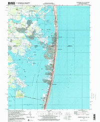
1997 Map of Assawoman Bay
USGS Topo · Published 2000About this map
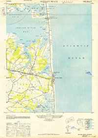
Assawoman Bay State Wildlife Area and its intricate network of marshes and ponds dominate the coastal landscape between the Delaware-Maryland border in the late 1990s. The map illustrates a high-density vacation and residential corridor stretching from Fenwick Island south through Maryland Beach to the northern edge of Ocean City. This barrier island development is mirrored by mainland settlements such as Magnolia Shores and Swann Keys that rely on artificial waterways like Williams Canal for bay access.
Find a feature on this map
102 named features on this map. Tap any name to fly to it.
Don’t see what you’re looking for? This feature index may not catch every label — zoom into the map to look around manually.
Map Details
Editions of this 1997 Assawoman Bay Map
This is the sole edition of this map. No revisions or reprints were ever made.
Other maps of this area

1901 · Ocean City
USGS Topo · 1:62,500

1918 · Rehoboth
USGS Topo · 1:62,500

1938 · Rehoboth
USGS Topo · 1:62,500

1942 · Ocean City
USGS Topo · 1:62,500

1942 · Ocean City
USGS Topo · 1:24,000

1943 · Selbyville
USGS Topo · 1:31,680
1943 · Berlin
USGS Topo · 1:31,680
1943 · Ocean City
USGS Topo · 1:31,680
1943 · Assawoman Bay
USGS Topo · 1:31,680
1943 · Bethany Beach
USGS Topo · 1:24,000