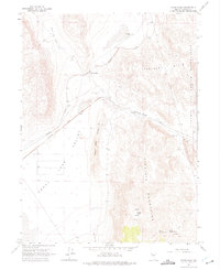
1964 Map of Astor Pass
USGS Topo · Published 1975About this map
Western Pacific and Southern Pacific rail lines dominate the high desert floor of this mid-1960s Washoe County survey, converging and splitting near the transit points of Sand Pass and Astor Pass. This arid landscape is defined by its water sources, with vital landmarks like Bonham Well, Double Check Well, and Juniper Basin Spring serving as focal points for the surrounding terrain. To the west, the expansive Honey Lake Valley meets the rising slopes of the Never Sweat Hills, while the eastern portion of the map covers the western edge of the Pyramid Lake Indian Reservation. The presence of several Marl Pits and Borrow Pits indicates the industrial activity required to maintain the critical rail infrastructure through the Virginia Mountains. The intricate mapping of seasonal drainages like Cottonwood Cr and localized features such as Upper Adobe Spring and Lower Adobe Spring provides a detailed view of the water-dependent settlement and transit patterns of this Nevada region.
Find a feature on this map
21 named features on this map. Tap any name to fly to it.
Don’t see what you’re looking for? This feature index may not catch every label — zoom into the map to look around manually.
Map Details
Editions of this 1964 Astor Pass Map
3 editions found
Other maps of this area

1886 · Granite Range
USGS Topo · 1:250,000

1894 · Granite Range
USGS Topo · 1:250,000

1955 · Lovelock
USGS Topo · 1:250,000

1959 · Lovelock
USGS Topo · 1:250,000

1964 · The Needle Rocks
USGS Topo · 1:24,000
1964 · Pyramid SW
USGS Topo · 1:24,000
1964 · State Line Peak
USGS Topo · 1:24,000
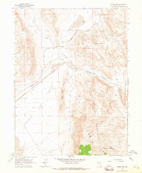
1964 · Astor Pass
USGS Topo · 1:24,000
1964 · Flanigan
USGS Topo · 1:24,000
1964 · Spanish Flat
USGS Topo · 1:24,000