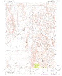
1964 Map of Astor Pass
USGS Topo · Published 1982About this map
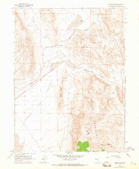
The Virginia Mountains dominate this high-desert landscape in northern Washoe County, where the historic Western Pacific and Southern Pacific railroads converge to navigate the narrow Astor Pass. This corridor, flanked by the Never Sweat Hills and Terraced Hills, serves as a vital transportation link between Dry Valley and the vast alkali flats of Honey Lake Valley. To the east, the boundary of the Pyramid Lake Indian Reservation follows the ridgelines, marking a transition into protected tribal lands.
Find a feature on this map
26 named features on this map. Tap any name to fly to it.
Don’t see what you’re looking for? This feature index may not catch every label — zoom into the map to look around manually.
Map Details
Editions of this 1964 Astor Pass Map
3 editions found
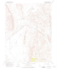
Other maps of this area

1886 · Granite Range
USGS Topo · 1:250,000

1894 · Granite Range
USGS Topo · 1:250,000

1955 · Lovelock
USGS Topo · 1:250,000

1959 · Lovelock
USGS Topo · 1:250,000

1964 · The Needle Rocks
USGS Topo · 1:24,000
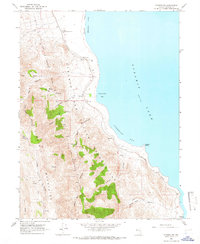
1964 · Pyramid SW
USGS Topo · 1:24,000
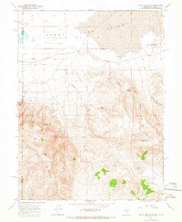
1964 · State Line Peak
USGS Topo · 1:24,000
1964 · Astor Pass
USGS Topo · 1:24,000
1964 · Flanigan
USGS Topo · 1:24,000
1964 · Spanish Flat
USGS Topo · 1:24,000