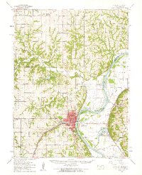
1960 Map of Atchison
USGS Topo · Published 1961About this map
Atchison serves as a major hub for commerce and education along the Missouri River in this early 1960s survey. The city's landscape is defined by institutional landmarks such as St Benedicts College and Mt St Scholastica Academy, alongside industrial features like various Quarries and a Radio Tower. Across the river in Missouri, the settlements of Winthrop and Rushville are linked to Kansas by a complex rail network, including the Chicago Rock Island and Pacific and the Missouri Pacific railroads.
Find a feature on this map
110 named features on this map. Tap any name to fly to it.
Don’t see what you’re looking for? This feature index may not catch every label — zoom into the map to look around manually.
Map Details
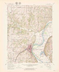
Editions of this 1960 Atchison Map
2 editions found
Other maps of this area

1885 · Atchison
USGS Topo · 1:125,000

1886 · Oskaloosa
USGS Topo · 1:125,000

1888 · Oskaloosa
USGS Topo · 1:125,000

1888 · Atchison
USGS Topo · 1:125,000

1890 · Kansas City
USGS Topo · 1:125,000

1893 · Atchison
USGS Topo · 1:125,000

1894 · Kansas City
USGS Topo · 1:125,000

1894 · Oskaloosa
USGS Topo · 1:125,000

1910 · Leavenworth
USGS Topo · 1:62,500

1924 · St. Joseph
USGS Topo · 1:62,500