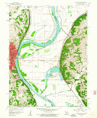
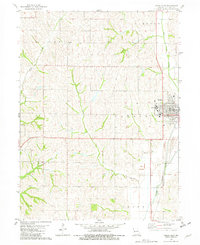
1960 Map of Atchison East
USGS Topo · Published 1961About this map
The Missouri River snakes through the center of this landscape, its path defined by dramatic loops like McQueen Bend and Rushville Bend. On the Kansas side, the city of Atchison serves as a prominent hub, featuring educational landmarks such as St Benedicts College and Mt Scholastica Academy. The floodplain to the east is a complex network of levees, sloughs, and oxbow lakes, including Sugar Lake, which is home to Lewis and Clark State Park.
Find a feature on this map
60 named features on this map. Tap any name to fly to it.
Don’t see what you’re looking for? This feature index may not catch every label — zoom into the map to look around manually.
Map Details
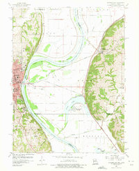
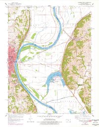
Editions of this 1960 Atchison East Map
3 editions found
Historical Maps of Atchison Through Time
39 maps found
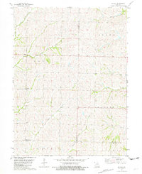
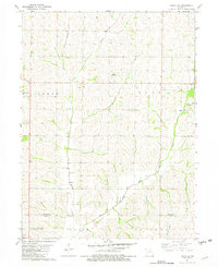
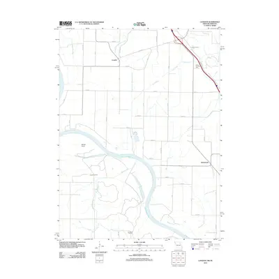
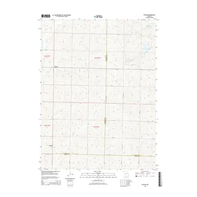
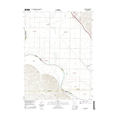
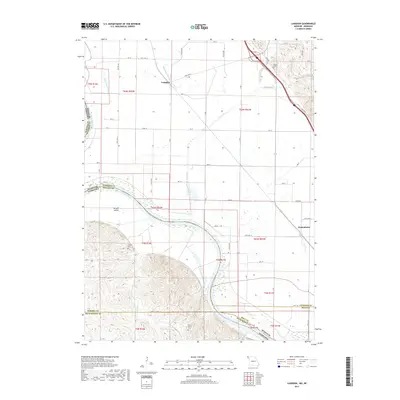
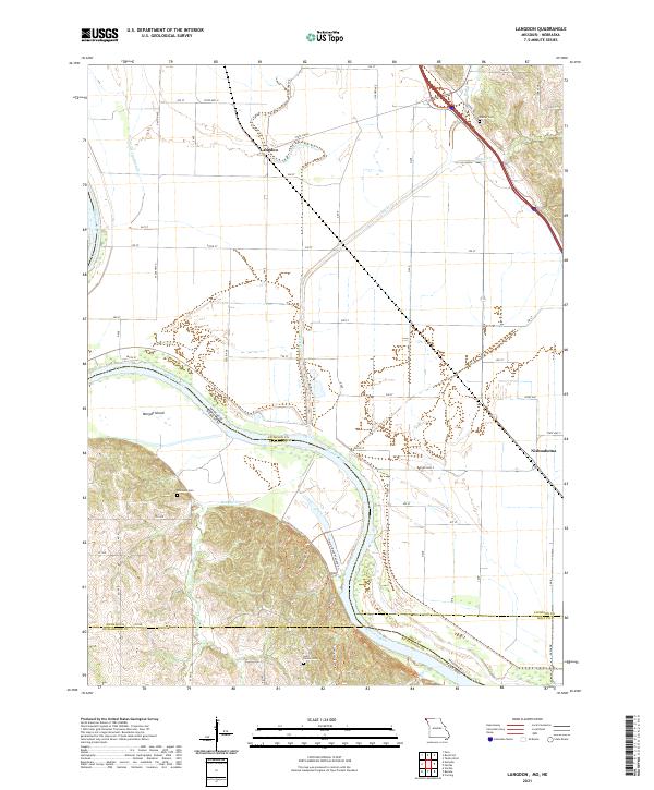
1966 Langdon
Atchison County, MO
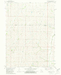
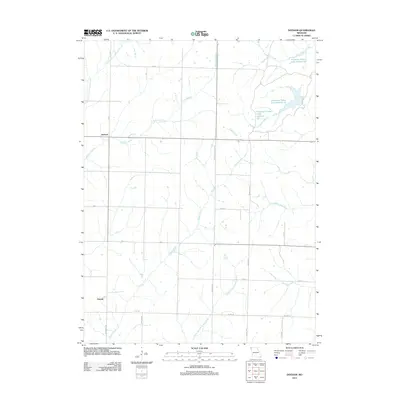
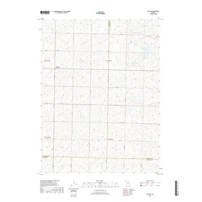
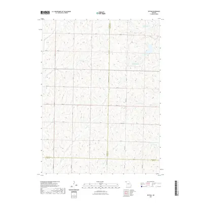
1981 Dotham
Atchison County, MO
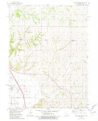
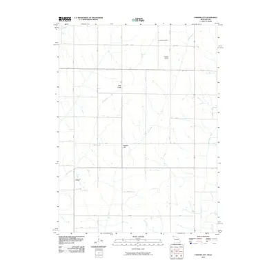
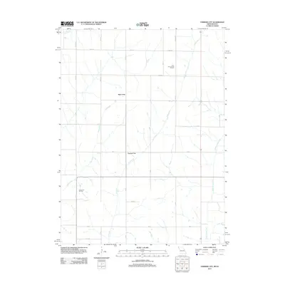
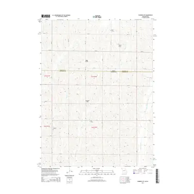
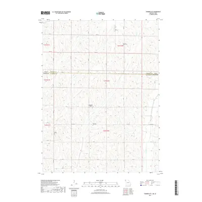
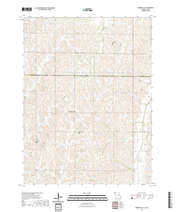
1981 Farmers City
Atchison County, MO
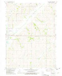
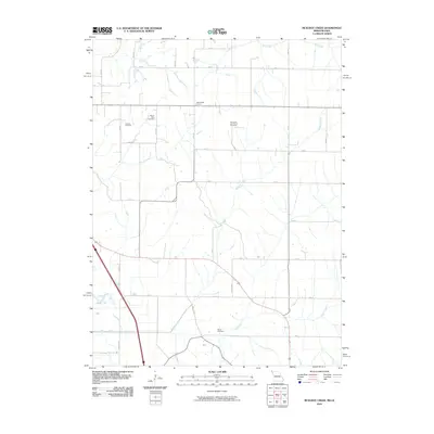
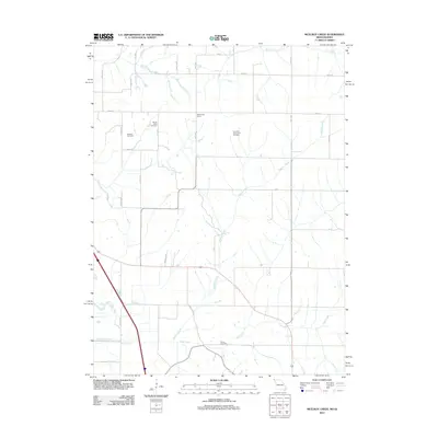
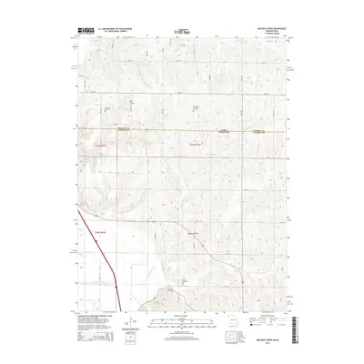
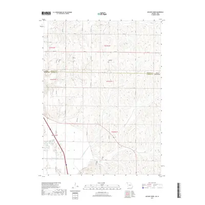
1981 McElroy Creek
Atchison County, MO
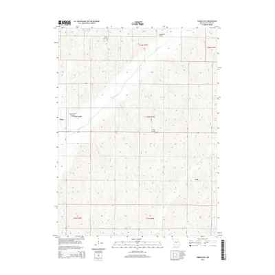
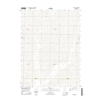
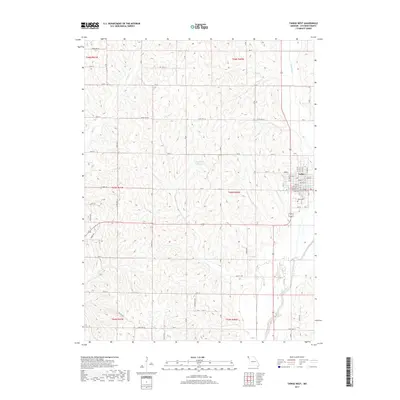
1981 Tarkio East
Atchison County, MO
1981 Tarkio SE
Atchison County, MO
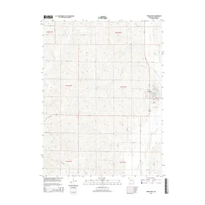
1981 Tarkio West
Atchison County, MO
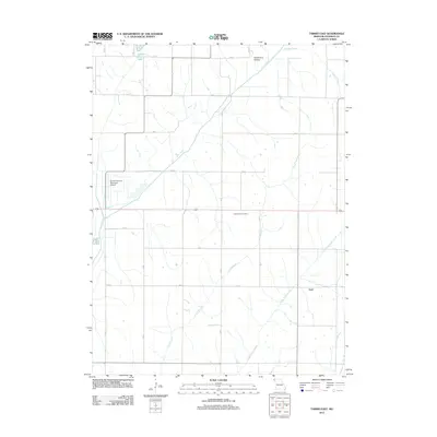
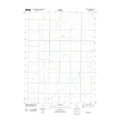
2010 Farmers City
Atchison County, MO
2010 McElroy Creek
Atchison County, MO
2012 Dotham
Atchison County, MO
2012 Farmers City
Atchison County, MO
2012 Langdon
Atchison County, MO
2012 McElroy Creek
Atchison County, MO
2012 Tarkio East
Atchison County, MO
2012 Tarkio SE
Atchison County, MO
2012 Tarkio West
Atchison County, MO
2014 Dotham
Atchison County, MO
2014 Farmers City
Atchison County, MO
2014 Langdon
Atchison County, MO
2014 McElroy Creek
Atchison County, MO
2014 Tarkio East
Atchison County, MO
2014 Tarkio SE
Atchison County, MO
2014 Tarkio West
Atchison County, MO
2017 Dotham
Atchison County, MO
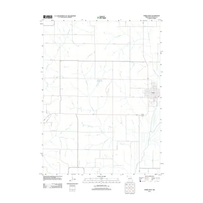
2017 Farmers City
Atchison County, MO
2017 Langdon
Atchison County, MO
2017 McElroy Creek
Atchison County, MO
2017 Tarkio East
Atchison County, MO
2017 Tarkio SE
Atchison County, MO
2017 Tarkio West
Atchison County, MO
2021 Dotham
Atchison County, MO
2021 Farmers City
Atchison County, MO
2021 Langdon
Atchison County, MO
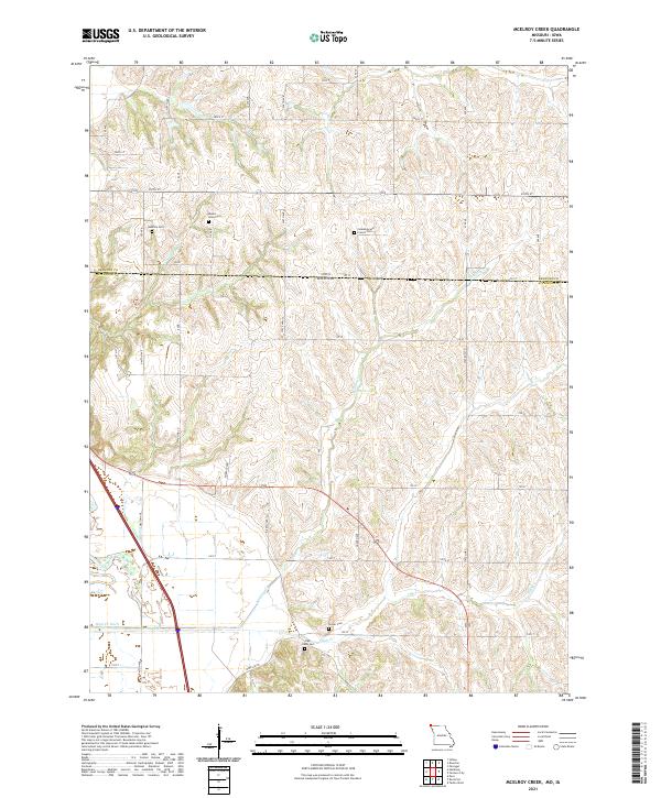
2021 McElroy Creek
Atchison County, MO
2021 Tarkio East
Atchison County, MO
2021 Tarkio SE
Atchison County, MO
2021 Tarkio West
Atchison County, MO
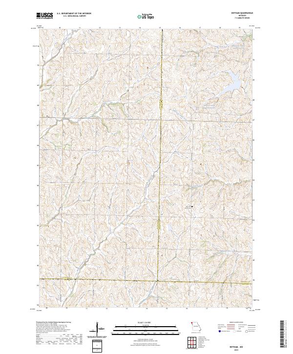
2023 Dotham
Atchison County, MO
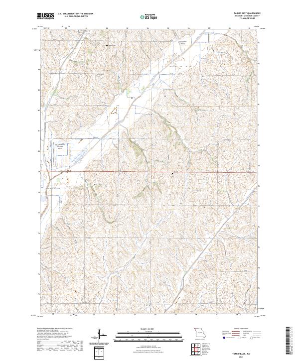
2023 Tarkio East
Atchison County, MO