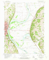
1960 Map of Atchison East
USGS Topo · Published 1975About this map
Atchison serves as the focal point of this riverfront survey, where the Missouri River forms the state boundary between Kansas and Missouri. The landscape is defined by the heavy infrastructure of the era, including the Chicago Burlington and Quincy railroad and a network of levees protecting the lowlands at McQueen Bend and Rushville Bend. Educational institutions like St Benedicts College and Mt Scholastica Academy anchor the city, while the Missouri side features the small settlements of Winthrop, Armour, and Rushville.
Find a feature on this map
66 named features on this map. Tap any name to fly to it.
Don’t see what you’re looking for? This feature index may not catch every label — zoom into the map to look around manually.
Map Details
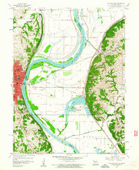
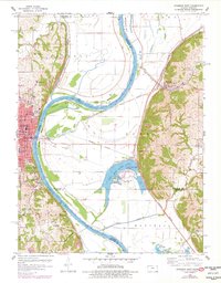
Editions of this 1960 Atchison East Map
3 editions found
Other maps of this area

1885 · Atchison
USGS Topo · 1:125,000

1886 · Oskaloosa
USGS Topo · 1:125,000

1888 · Oskaloosa
USGS Topo · 1:125,000

1888 · Atchison
USGS Topo · 1:125,000

1890 · Kansas City
USGS Topo · 1:125,000

1893 · Atchison
USGS Topo · 1:125,000

1894 · Kansas City
USGS Topo · 1:125,000

1894 · Oskaloosa
USGS Topo · 1:125,000

1910 · Leavenworth
USGS Topo · 1:62,500

1926 · Atchison
USGS Topo · 1:62,500