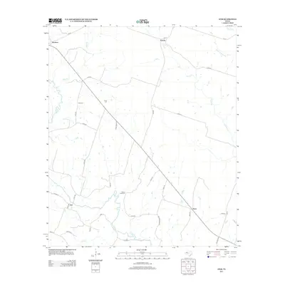
2013 Map of Ater
USGS Topo · Published 2013About this map
The Leon River and Middle Bosque River anchor this central Texas landscape, where rural life is oriented around a series of small, scattered communities. Small settlements like Jonesboro, Pancake, Ater, and Ames are connected by a network of farm-to-market roads and county lanes, illustrating the persistent agricultural character of Coryell County. For those researching local family history, the map includes significant sites such as Wood Cem, Young Cem, and Weaver Chapel Cem. The terrain is further defined by numerous watercourses including Coryell Cr, Kelly Br, and Plum Cr, which likely influenced the placement of early farmsteads and crossing points like Moccasin Bend Rd. The presence of Faubion in the south suggests a specific local landmark or point of interest near the river's bend.
Find a feature on this map
39 named features on this map. Tap any name to fly to it.
Don’t see what you’re looking for? This feature index may not catch every label — zoom into the map to look around manually.
Map Details
Editions of this 2013 Ater Map
This is the sole edition of this map. No revisions or reprints were ever made.
Other maps of this area

1888 · Meridian
USGS Topo · 1:125,000

1894 · Meridian
USGS Topo · 1:125,000

1894 · Gatesville
USGS Topo · 1:125,000

1947 · Purmela
USGS Topo · 1:62,500

1947 · Gatesville West
USGS Topo · 1:24,000

1947 · Purmela
USGS Topo · 1:24,000

1947 · Gatesville East
USGS Topo · 1:24,000
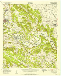
1950 · Gatesville
USGS Topo · 1:62,500

1954 · Waco
USGS Topo · 1:250,000
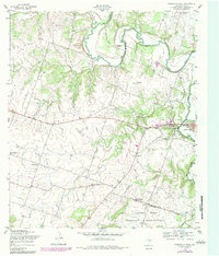
1954 · Gatesville West
USGS Topo · 1:24,000