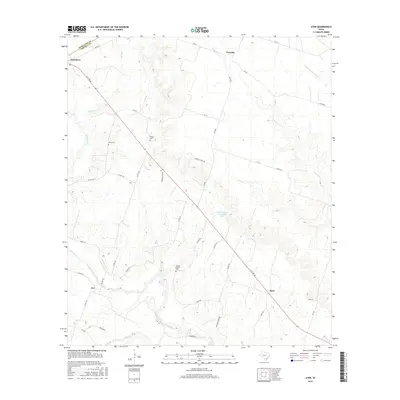
2016 Map of Ater
USGS Topo · Published 2016About this map
The Leon River carves a winding path through this section of Central Texas, defining the landscape south of Jonesboro and the Hamilton county line. The terrain is characterized by a network of drainage systems including Kelly Br and Plum Cr, which feed into the river's basin. The rural character of the area is anchored by small crossroads and historically significant sites like Ater and Ames, with the Mom Grazing Association Lake serving as a notable central water feature.
Find a feature on this map
44 named features on this map. Tap any name to fly to it.
Don’t see what you’re looking for? This feature index may not catch every label — zoom into the map to look around manually.
Map Details
Editions of this 2016 Ater Map
This is the sole edition of this map. No revisions or reprints were ever made.
Other maps of this area

1888 · Meridian
USGS Topo · 1:125,000

1894 · Meridian
USGS Topo · 1:125,000

1894 · Gatesville
USGS Topo · 1:125,000

1947 · Purmela
USGS Topo · 1:62,500

1947 · Gatesville West
USGS Topo · 1:24,000

1947 · Purmela
USGS Topo · 1:24,000

1947 · Gatesville East
USGS Topo · 1:24,000
1950 · Gatesville
USGS Topo · 1:62,500

1954 · Waco
USGS Topo · 1:250,000
1954 · Gatesville West
USGS Topo · 1:24,000