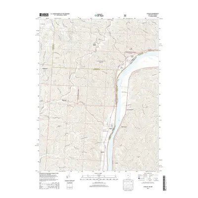
2013 Map of Athalia
USGS Topo · Published 2013About this map
Crown City and Athalia anchor this riverfront survey, positioned along the banks of the Ohio River where the borders of Gallia and Lawrence counties meet the West Virginia line. The landscape is defined by the steep transitions from the river's edge at Bay Bottom to the upland ridges of the Wayne National Forest. The settlement pattern follows the intricate drainage network, with homes and small communities like Platform and Good Hope tucked into valleys along Indian Guyan Cr and Williams Cr. This era shows the developed road network of the early 21st century, including State Rte 217 and State Rte 7, while preserving numerous family and community burial grounds such as Good Hope Cem and Miller Cem, which provide essential touchpoints for genealogical research in this Appalachian river valley.
Find a feature on this map
93 named features on this map. Tap any name to fly to it.
Don’t see what you’re looking for? This feature index may not catch every label — zoom into the map to look around manually.
Map Details
Editions of this 2013 Athalia Map
This is the sole edition of this map. No revisions or reprints were ever made.
Other maps of this area

1892 · Huntington
USGS Topo · 1:125,000

1898 · Huntington
USGS Topo · 1:125,000

1901 · Guyandot
USGS Topo · 1:62,500

1902 · Guyandot
USGS Topo · 1:62,500

1902 · Milton
USGS Topo · 1:62,500

1906 · Athalia
USGS Topo · 1:62,500

1906 · Glenwood
USGS Topo · 1:62,500

1908 · Athalia
USGS Topo · 1:62,500

1908 · Glenwood
USGS Topo · 1:62,500

1931 · Milton
USGS Topo · 1:62,500