
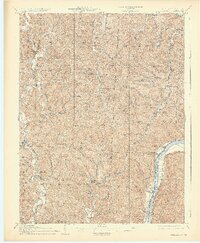
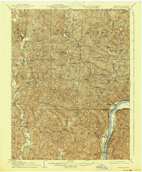
1908 Map of Athalia
USGS Topo · Published 1908About this map
Symmes Creek and the Guyandot River define the intricate drainage patterns of this border region where Ohio and West Virginia meet. In the early 1900s, the Ohio River served as a primary transit corridor, supported by the Baltimore and Ohio RR running along its banks and active river crossings like the Crown City Ferry and Millersport Ferry. The interior is densely settled with small rural communities and civic nodes, including Willowwood and Marion, alongside numerous neighborhood centers of faith and education like Bethesda Church, Mt Zion Church, and the Boggs School. This era reflects a landscape of localized self-sufficiency, where narrow valleys and ridges dictated the placement of homesteads and post offices like Aid and Dobbston. The map preserves the exact locations of many family-named landmarks and rural schools, such as Phillips School and Godby School, which often served as the primary gathering points for these scattered township populations.
Find a feature on this map
78 named features on this map. Tap any name to fly to it.
Don’t see what you’re looking for? This feature index may not catch every label — zoom into the map to look around manually.
Map Details
Editions of this 1908 Athalia Map
3 editions found
Other maps of this area

1892 · Huntington
USGS Topo · 1:125,000

1898 · Huntington
USGS Topo · 1:125,000

1898 · Ironton
USGS Topo · 1:62,500

1900 · Ironton
USGS Topo · 1:62,500

1901 · Guyandot
USGS Topo · 1:62,500

1901 · Ceredo
USGS Topo · 1:62,500

1902 · Guyandot
USGS Topo · 1:62,500

1902 · Milton
USGS Topo · 1:62,500

1903 · Kenova
USGS Topo · 1:125,000

1904 · Kenova
USGS Topo · 1:125,000