Loading...
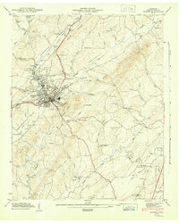
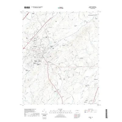
Loading map...1944 Map of Athens
USGS Topo · Published 1946About this map
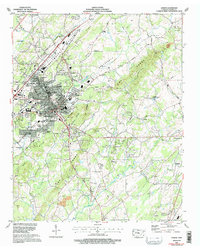
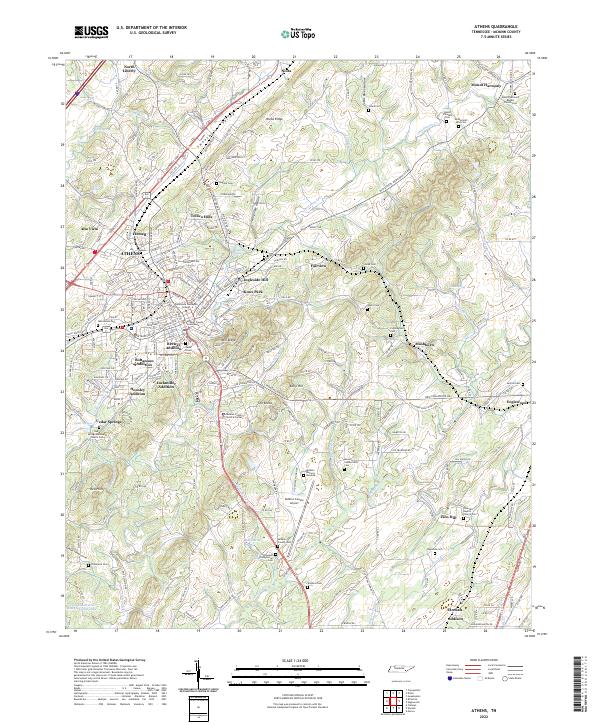
Athens serves as the focal point of this mid-1940s landscape, where the confluence of the Southern and Louisville And Nashville rail lines established the town as a vital regional hub. The topography is defined by parallel ridges and valleys, most notably Niota Ridge and the Red Hills, which funnel numerous waterways like Oostanaula Creek and Chestuee Creek through the terrain. This drainage pattern heavily influenced the placement of early settlements and agricultural holdings.
Find a feature on this map
89 named features on this map. Tap any name to fly to it.
Don’t see what you’re looking for? This feature index may not catch every label — zoom into the map to look around manually.
Map Details
Date Portrayed1944
Date Published1946
PublisherU.S. Geological Survey
Map TypeTopographic
Scale1:24,000
Physical Dimensions22 x 27.5 inches
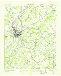
Editions of this 1944 Athens Map
3 editions found
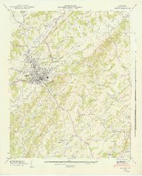
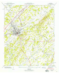
Historical Maps of Athens Through Time
8 maps found
Featured Locations
Source Details
SourceU.S. Geological Survey
CopyrightPublic Domain