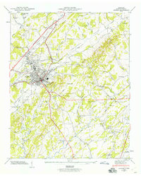
1944 Map of Athens
USGS Topo · Published 1960About this map
The railroad junction at Athens serves as the economic heart of McMinn County in the mid-1940s, where the Southern and Louisville and Nashville rail lines intersect. This network anchors a landscape defined by the parallel ridges of the Red Hills and Niota Ridge, which channel the waters of Oostanaula Creek through the central valley. The map documents a dense rural infrastructure of small community hubs, including the County Farm and a proliferation of local institutions such as North Liberty Sch and Bethsalem Ch. Genealogists will find significant value in the carefully marked family and community burial grounds, including Netherland Rice Cem, Malone Cem, and Johns Cem, which are scattered among the hollows and ridge slopes of the Oostanaula Valley.
Find a feature on this map
89 named features on this map. Tap any name to fly to it.
Don’t see what you’re looking for? This feature index may not catch every label — zoom into the map to look around manually.
Map Details
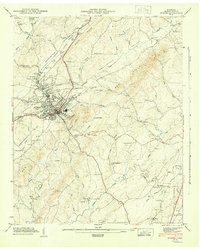
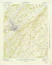
Editions of this 1944 Athens Map
3 editions found
Other maps of this area

1886 · Cleveland
USGS Topo · 1:125,000

1887 · Kingston
USGS Topo · 1:125,000

1891 · Kingston
USGS Topo · 1:125,000

1892 · Cleveland
USGS Topo · 1:125,000

1893 · Murphy
USGS Topo · 1:125,000

1893 · Kingston
USGS Topo · 1:125,000

1895 · Cleveland
USGS Topo · 1:125,000

1895 · Loudon
USGS Topo · 1:125,000

1901 · Cleveland
USGS Topo · 1:125,000

1914 · Murphy
USGS Topo · 1:125,000