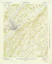
1944 Map of Athens
USGS Topo · Published 1946About this map
Athens serves as the focal point of this mid-1940s landscape, where the Southern railway and the Louisville And Nashville lines intersect to form a vital transportation corridor through the Sweetwater Valley. The settlement pattern reflects a deeply established rural community, with numerous family-named landmarks like Malone Cem and Hammond Cem dotting the valley floor and the surrounding Red Hills.
Find a feature on this map
64 named features on this map. Tap any name to fly to it.
Don’t see what you’re looking for? This feature index may not catch every label — zoom into the map to look around manually.
Map Details
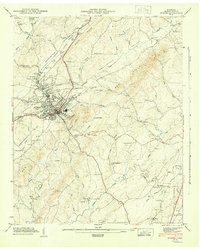
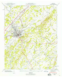
Editions of this 1944 Athens Map
3 editions found
Other maps of this area

1886 · Cleveland
USGS Topo · 1:125,000

1887 · Kingston
USGS Topo · 1:125,000

1891 · Kingston
USGS Topo · 1:125,000

1892 · Cleveland
USGS Topo · 1:125,000

1893 · Murphy
USGS Topo · 1:125,000

1893 · Kingston
USGS Topo · 1:125,000

1895 · Cleveland
USGS Topo · 1:125,000

1895 · Loudon
USGS Topo · 1:125,000

1901 · Cleveland
USGS Topo · 1:125,000

1914 · Murphy
USGS Topo · 1:125,000