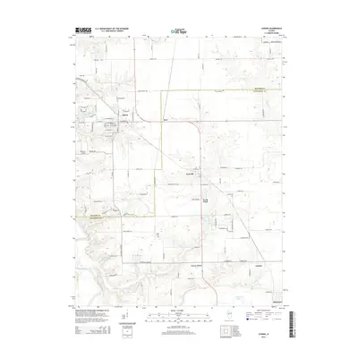
2015 Map of Athens
USGS Topo · Published 2015About this map
The Sangamon River meanders across the southwest corner of this landscape, a region defined by the border between Menard and Sangamon counties. The town of Athens serves as a primary hub in the northwest, featuring a grid of residential streets like W Washington St and historic sites such as Joel Hall Cem and West Cem. To the southeast, the village of Cantrall and the northern reaches of Sherman mark the path of the primary north-south corridor. The area remains largely agricultural, punctuated by several family and community burial grounds including Strode Cem, Brittin Cem, and Canterbury Cem. Waterways like Cantrall Cr and Fancy Cr drain the fields toward the river, while smaller settlements like Andrew, Barr, and North Wind illustrate the dispersed rural community structure near the state capital region.
Find a feature on this map
102 named features on this map. Tap any name to fly to it.
Don’t see what you’re looking for? This feature index may not catch every label — zoom into the map to look around manually.
Map Details
Editions of this 2015 Athens Map
This is the sole edition of this map. No revisions or reprints were ever made.
Other maps of this area

1907 · Springfield
USGS Topo · 1:62,500

1909 · Tallula
USGS Topo · 1:62,500

1930 · Springfield
USGS Topo · 1:62,500

1933 · Petersburg
USGS Topo · 1:62,500

1938 · Petersburg
USGS Topo · 1:62,500

1940 · Tallula
USGS Topo · 1:62,500

1940 · Springfield
USGS Topo · 1:62,500

1948 · Mason City
USGS Topo · 1:62,500

1949 · Mason City
USGS Topo · 1:62,500

1950 · Springfield West
USGS Topo · 1:24,000