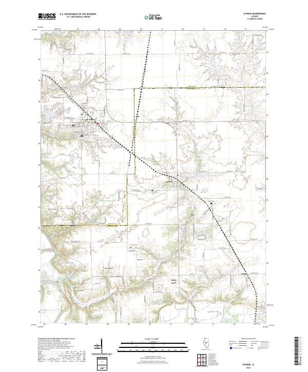
2024 Map of Athens
USGS Topo · Published 2024About this map
Athens serves as a primary population center in this Central Illinois landscape, situated just north of the Sangamon River valley. The map reveals a high density of rural burial sites for researchers to trace, including the Old West Cem, Joel Hall Cem, and the Strode Cem located near the small community of Andrew. The terrain is defined by the branching waterways of Cantrall Creek and Fancy Creek, which carve through the agricultural tablelands between the settlements of Cantrall and Barr. In the southwestern corner, the man-made Cilca Lake and the natural oxbow of Halfmoon Lake highlight the hydrological diversity of the river bottomlands. This modern survey reflects a region where traditional land divisions and family-named roads, such as Shanghi Ln and Hackman Rd, persist alongside modern developments like Green Acres.
Find a feature on this map
62 named features on this map. Tap any name to fly to it.
Don’t see what you’re looking for? This feature index may not catch every label — zoom into the map to look around manually.
Map Details
Editions of this 2024 Athens Map
This is the sole edition of this map. No revisions or reprints were ever made.
Other maps of this area

1907 · Springfield
USGS Topo · 1:62,500

1909 · Tallula
USGS Topo · 1:62,500

1930 · Springfield
USGS Topo · 1:62,500

1933 · Petersburg
USGS Topo · 1:62,500

1938 · Petersburg
USGS Topo · 1:62,500

1940 · Tallula
USGS Topo · 1:62,500

1940 · Springfield
USGS Topo · 1:62,500

1948 · Mason City
USGS Topo · 1:62,500

1949 · Mason City
USGS Topo · 1:62,500

1950 · Springfield West
USGS Topo · 1:24,000