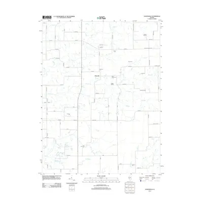
2012 Map of Athensville
USGS Topo · Published 2012About this map
Athensville sits at the center of this rural landscape, where a network of county roads like Co HWY-3 and Palmyra Rd connect isolated homesteads and family burial grounds. The terrain is defined by a dense system of waterways including Apple Cr and its many tributaries, such as Negro Lick, Long Br, and Cole Br. This drainage pattern created a series of ridges and hollows, most notably Happy Hollow southeast of the main settlement.
Find a feature on this map
61 named features on this map. Tap any name to fly to it.
Don’t see what you’re looking for? This feature index may not catch every label — zoom into the map to look around manually.
Map Details
Editions of this 2012 Athensville Map
This is the sole edition of this map. No revisions or reprints were ever made.
Other maps of this area

1924 · Winchester
USGS Topo · 1:48,000

1924 · Roodhouse
USGS Topo · 1:62,500

1926 · Winchester
USGS Topo · 1:62,500

1926 · Roodhouse
USGS Topo · 1:62,500

1932 · Greenfield
USGS Topo · 1:62,500

1932 · Jacksonville
USGS Topo · 1:62,500

1937 · Jacksonville
USGS Topo · 1:62,500

1948 · Quincy
USGS Topo · 1:250,000

1956 · Quincy
USGS Topo · 1:250,000
1983 · Manchester
USGS Topo · 1:24,000