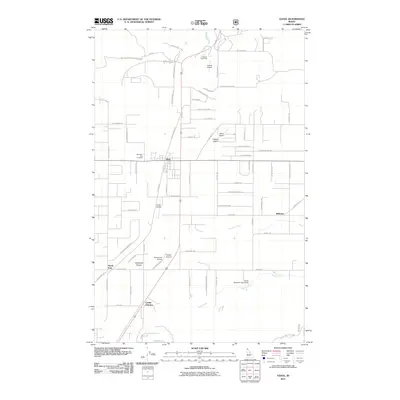
2011 Map of Athol
USGS Topo · Published 2011About this map
Athol serves as the central hub of this northern Idaho landscape, where the flat expanse of Eightmile Prairie meets a cluster of private and municipal airfields. The 2011 survey reveals an unusual density of aviation infrastructure, featuring Athol Airport, Silverwood Airport, Hackney Airpark, and the Cedar Mountain Sky Ranch. This concentration suggests a local economy and lifestyle heavily integrated with regional air travel and recreation at the edge of the wilderness.
Find a feature on this map
75 named features on this map. Tap any name to fly to it.
Don’t see what you’re looking for? This feature index may not catch every label — zoom into the map to look around manually.
Map Details
Editions of this 2011 Athol Map
This is the sole edition of this map. No revisions or reprints were ever made.
Other maps of this area

1901 · Sandpoint
USGS Topo · 1:125,000

1903 · Rathdrum
USGS Topo · 1:125,000

1911 · Priest Lake
USGS Topo · 1:250,000

1911 · Sandpoint
USGS Topo · 1:125,000

1913 · Priest Lake
USGS Topo · 1:250,000

1955 · Spokane
USGS Topo · 1:250,000

1958 · Spokane
USGS Topo · 1:250,000

1958 · Sandpoint
USGS Topo · 1:250,000

1961 · Hayden
USGS Topo · 1:24,000

1961 · Bayview
USGS Topo · 1:24,000