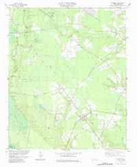
1984 Map of Atkinson
USGS Topo · Published 1984About this map
Atkinson serves as the primary hub of this eastern North Carolina landscape, where the town’s residential grid stands in sharp contrast to the surrounding blackwater lowlands. The geography is defined by the winding course of the Black River and its tributaries, including Colvins Creek and Moores Creek. A distinct Railroad Grade cuts a straight path through the wetlands of Colvins Bay, marking a transition from active transportation to the quiet rural character that defines the area.
Find a feature on this map
34 named features on this map. Tap any name to fly to it.
Don’t see what you’re looking for? This feature index may not catch every label — zoom into the map to look around manually.
Map Details
Editions of this 1984 Atkinson Map
This is the sole edition of this map. No revisions or reprints were ever made.
Other maps of this area

1953 · Florence
USGS Topo · 1:250,000

1954 · Florence
USGS Topo · 1:250,000

1954 · White Lake
USGS Topo · 1:62,500

1954 · Acme
USGS Topo · 1:62,500

1954 · Bolton
USGS Topo · 1:62,500

1955 · Atkinson
USGS Topo · 1:62,500
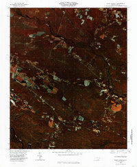
1980 · Point Caswell
USGS Topo · 1:24,000
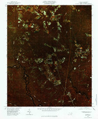
1980 · Currie
USGS Topo · 1:24,000

1982 · Elizabethtown
USGS Topo · 1:100,000
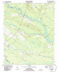
1983 · Point Caswell
USGS Topo · 1:24,000