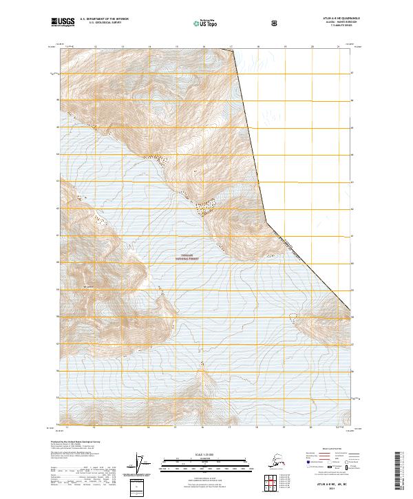
2021 Map of Atlin A-8 NE
USGS Topo · Published 2021About this map
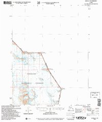
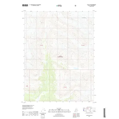
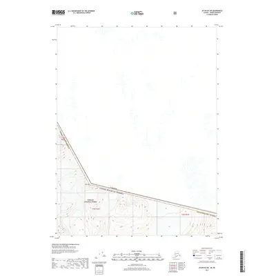
Tongass National Forest dominates this high-latitude terrain, where the northernmost reaches of Southeast Alaska meet the international border. The landscape is defined by the sharp elevations of Mt Leland, surrounded by the strictly defined boundaries of the United States of America Canada border. This 2021 survey by the U.S. Geological Survey details the complex topography and township lines of the Haines Borough region, capturing a wilderness area managed for its forest resources. The absence of roads or developed settlements highlights the remote character of this specific quadrangle, making it a critical reference for understanding the physical geography and administrative divisions of the Alaska-British Columbia boundary line.
Find a feature on this map
9 named features on this map. Tap any name to fly to it.
Don’t see what you’re looking for? This feature index may not catch every label — zoom into the map to look around manually.
Map Details
Editions of this 2021 Atlin A-8 NE Map
This is the sole edition of this map. No revisions or reprints were ever made.
Other maps of this area

1949 · Atlin
USGS Topo · 1:250,000

1951 · Atlin
USGS Topo · 1:250,000

1960 · Atlin A-8
USGS Topo · 1:63,360
1960 · Atlin B-8
USGS Topo · 1:63,360
1960 · Atlin A-7
USGS Topo · 1:63,360

1960 · Atlin
USGS Topo · 1:250,000
2004 · Atlin A-8
USGS Topo · 1:63,360
2004 · Atlin A-7
USGS Topo · 1:63,360
2017 · Atlin A-8 SW
USGS Topo · 1:25,000
2017 · Atlin B-8 SW
USGS Topo · 1:25,000