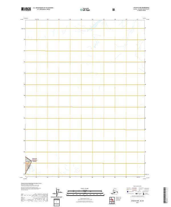
2021 Map of Atlin B-8 NW
USGS Topo · Published 2021About this map
The international border between the USA and Canada defines the southwestern corner of this high-latitude survey in the Skagway Municipality. Much of the remote landscape is dominated by the massive Meade Glacier, which occupies the upper half of the sheet with its vast glacial flow and drainage patterns. This 2021 edition provides a clear record of the glacial extent and the surrounding ice-field environment during the early 21st century. The southeastern corner is anchored by the presence of the Tongass National Forest, where the terrain rises toward the summit of Boundary Peak 108. Outside of these major landmarks and the section lines for t29s r62e, the map illustrates a largely uninhabited and glaciated wilderness, serving as a specialized record of the trans-boundary topography.
Find a feature on this map
5 named features on this map. Tap any name to fly to it.
Don’t see what you’re looking for? This feature index may not catch every label — zoom into the map to look around manually.
Map Details
Editions of this 2021 Atlin B-8 NW Map
This is the sole edition of this map. No revisions or reprints were ever made.
Other maps of this area

1948 · Skagway C-1
USGS Topo · 1:63,360

1949 · Atlin
USGS Topo · 1:250,000

1949 · Skagway B-1
USGS Topo · 1:63,360

1951 · Skagway C-1
USGS Topo · 1:63,360

1951 · Atlin
USGS Topo · 1:250,000

1951 · Skagway B-1
USGS Topo · 1:63,360

1952 · Skagway
USGS Topo · 1:250,000
1960 · Atlin B-8
USGS Topo · 1:63,360

1960 · Atlin
USGS Topo · 1:250,000

1961 · Skagway
USGS Topo · 1:250,000