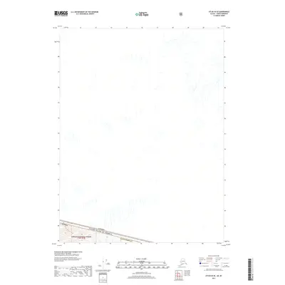
2017 Map of Atlin B-8 SE
USGS Topo · Published 2017About this map
The Canada United States of America international boundary cuts across the southern portion of this high-latitude survey, marking the political divide between the Haines Borough in Alaska and British Columbia. Much of the southern landscape is defined by the protected lands of the Tongass National Forest, where steep elevation contours indicate a complex drainage system flowing northward through the uninhabited terrain. The map captures a section of the border during the mid-2010s, reflecting a wilderness landscape devoid of modern settlements or road infrastructure, typical of the remote interior regions where the coastal temperate rainforest begins to meet the interior mountain ranges.
Find a feature on this map
4 named features on this map. Tap any name to fly to it.
Don’t see what you’re looking for? This feature index may not catch every label — zoom into the map to look around manually.
Map Details
Editions of this 2017 Atlin B-8 SE Map
This is the sole edition of this map. No revisions or reprints were ever made.
Other maps of this area

1949 · Atlin
USGS Topo · 1:250,000

1951 · Atlin
USGS Topo · 1:250,000

1960 · Atlin A-8
USGS Topo · 1:63,360
1960 · Atlin B-8
USGS Topo · 1:63,360
1960 · Atlin A-7
USGS Topo · 1:63,360

1960 · Atlin
USGS Topo · 1:250,000
2004 · Atlin A-8
USGS Topo · 1:63,360
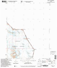
2004 · Atlin A-7
USGS Topo · 1:63,360
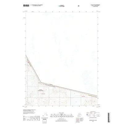
2017 · Atlin B-8 SW
USGS Topo · 1:25,000
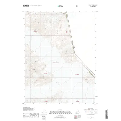
2017 · Atlin A-8 NE
USGS Topo · 1:25,000