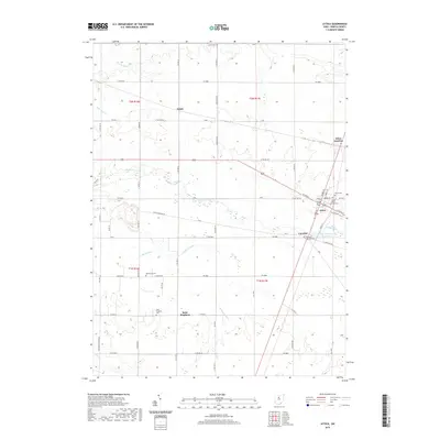
2019 Map of Attica
USGS Topo · Published 2019About this map
Attica and the surrounding rural townships in Seneca County are defined by a complex network of agricultural drainage systems and small crossroads communities. The landscape is etched with features like Porter Ditch, Kagy Ditch, and Bollinger Ditch, illustrating the intensive land management required for farming in this part of Ohio. Modern infrastructure, such as the Attica Upground Reservoir, sits alongside historical markers of the area's early settlement.
Find a feature on this map
57 named features on this map. Tap any name to fly to it.
Don’t see what you’re looking for? This feature index may not catch every label — zoom into the map to look around manually.
Map Details
Editions of this 2019 Attica Map
This is the sole edition of this map. No revisions or reprints were ever made.
Other maps of this area

1906 · Sycamore
USGS Topo · 1:62,500

1906 · Tiffin
USGS Topo · 1:62,500

1915 · Siam
USGS Topo · 1:62,500

1915 · Bucyrus
USGS Topo · 1:62,500

1943 · Bucyrus
USGS Topo · 1:62,500

1950 · Marion
USGS Topo · 1:250,000

1956 · Toledo
USGS Topo · 1:250,000
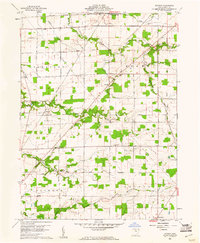
1960 · Watson
USGS Topo · 1:24,000
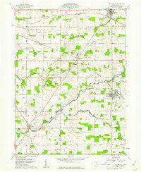
1960 · Bloomville
USGS Topo · 1:24,000
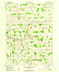
1960 · Lykens
USGS Topo · 1:24,000