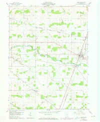
1960 Map of Attica
USGS Topo · Published 1973About this map
Honey Creek meanders across this rural Seneca County landscape, serving as the primary drainage for a region defined by agricultural productivity and a complex network of man-made ditches. In the early 1960s, the village of Attica functioned as a central hub, where the Norfolk and Western railway corridor meets local roads near the Fairground. The map documents the persistent layout of early townships including Scipio, Reed, and Venice, revealing how small hamlets like St Stephens and Caroline grew around road junctions and parish sites such as St Stephens Cem. A trio of rail lines, including the Baltimore and Ohio and Penn Central, crisscross the territory, illustrating the area's importance to the mid-century industrial transport network of North Central Ohio. This record captures the transition of small rural communities as they maintained their local character amidst shifting regional infrastructure.
Find a feature on this map
29 named features on this map. Tap any name to fly to it.
Don’t see what you’re looking for? This feature index may not catch every label — zoom into the map to look around manually.
Map Details
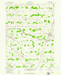
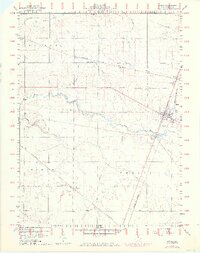
Editions of this 1960 Attica Map
3 editions found
Other maps of this area

1906 · Sycamore
USGS Topo · 1:62,500

1906 · Tiffin
USGS Topo · 1:62,500

1915 · Siam
USGS Topo · 1:62,500

1915 · Bucyrus
USGS Topo · 1:62,500

1943 · Bucyrus
USGS Topo · 1:62,500

1950 · Marion
USGS Topo · 1:250,000

1956 · Toledo
USGS Topo · 1:250,000
1960 · Watson
USGS Topo · 1:24,000
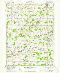
1960 · Bloomville
USGS Topo · 1:24,000
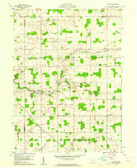
1960 · Lykens
USGS Topo · 1:24,000