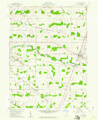
1960 Map of Attica
USGS Topo · Published 1961About this map
Attica serves as the primary hub of activity on this 1960 topographic survey, situated at the crossroads of the Baltimore and Ohio and Pennsylvania railroads. The town's local significance is underscored by the presence of a Fairground and several nearby clusters of settlement, including Siam and Caroline. The drainage pattern of this landscape is heavily managed through an extensive network of ditches, such as Armstrong Ditch, Beighley Ditch, and Hedden Ditch, which channel water into Honey Creek to support the surrounding agricultural ventures.
Find a feature on this map
26 named features on this map. Tap any name to fly to it.
Don’t see what you’re looking for? This feature index may not catch every label — zoom into the map to look around manually.
Map Details
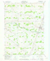
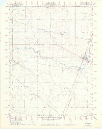
Editions of this 1960 Attica Map
3 editions found
Other maps of this area

1906 · Sycamore
USGS Topo · 1:62,500

1906 · Tiffin
USGS Topo · 1:62,500

1915 · Siam
USGS Topo · 1:62,500

1915 · Bucyrus
USGS Topo · 1:62,500

1943 · Bucyrus
USGS Topo · 1:62,500

1950 · Marion
USGS Topo · 1:250,000

1956 · Toledo
USGS Topo · 1:250,000
1960 · Watson
USGS Topo · 1:24,000
1960 · Bloomville
USGS Topo · 1:24,000
1960 · Lykens
USGS Topo · 1:24,000