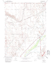
1951 Map of Atwood
USGS Topo · Published 1985About this map
The Atwood settlement serves as the central hub of this mid-century Logan County landscape, situated where the South Platte River and the Burlington Northern and Union Pacific railroads converge. The map illustrates a complex irrigation and water management system essential for high-plains agriculture, featuring the Sterling North Canal and several diversions like the Schneider North Ditch. These waterways parallel the river, while Pawnee Creek and its northern branch cut through the dryer uplands to the west.
Find a feature on this map
19 named features on this map. Tap any name to fly to it.
Don’t see what you’re looking for? This feature index may not catch every label — zoom into the map to look around manually.
Map Details
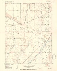
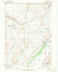
Editions of this 1951 Atwood Map
4 editions found
Other maps of this area

1951 · Willard
USGS Topo · 1:24,000

1951 · Messex
USGS Topo · 1:24,000

1951 · Sterling South
USGS Topo · 1:24,000

1951 · Sterling North
USGS Topo · 1:24,000

1951 · Wild Horse Lake
USGS Topo · 1:24,000

1951 · Atwood NE
USGS Topo · 1:24,000

1951 · Merino
USGS Topo · 1:24,000

1951 · Atwood
USGS Topo · 1:24,000

1954 · Sterling
USGS Topo · 1:250,000

1958 · Sterling
USGS Topo · 1:250,000