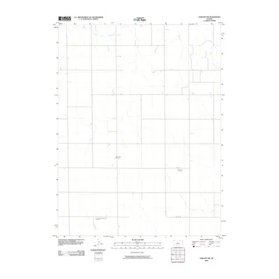
2009 Map of Atwood NW
USGS Topo · Published 2009About this map
Northwestern Rawlins County is defined by the high plains landscape where the headwaters of the Driftwood Creek system begin to carve shallow valleys into the Kansas prairie. In the early 21st century, the area remains primarily agricultural, organized by a strict section-line grid of rural routes such as Co Rd Y and Co Rd 316. This quiet landscape preserves the spiritual and ancestral history of its early settlers through several isolated burial grounds, including Saint Johns Cemetery and Enterprise Cemetery. The presence of the Immaculate Conception Cemetery further south reflects the dispersed nature of these early rural communities. Drainage patterns are dominated by the meandering paths of the North Fork Driftwood Creek and the South Fork Driftwood Creek, which provide the primary topographic relief in an otherwise expansive and open agricultural terrain.
Find a feature on this map
7 named features on this map. Tap any name to fly to it.
Don’t see what you’re looking for? This feature index may not catch every label — zoom into the map to look around manually.
Map Details
Editions of this 2009 Atwood NW Map
This is the sole edition of this map. No revisions or reprints were ever made.
Other maps of this area

1950 · Mc Donald
USGS Topo · 1:62,500

1951 · Mc Donald
USGS Topo · 1:62,500

1951 · Atwood
USGS Topo · 1:62,500

1954 · McCook
USGS Topo · 1:250,000

1954 · Goodland
USGS Topo · 1:250,000

1956 · Goodland
USGS Topo · 1:250,000

1957 · McCook
USGS Topo · 1:250,000

1957 · Goodland
USGS Topo · 1:250,000

1958 · McCook
USGS Topo · 1:250,000

1962 · Trenton SW
USGS Topo · 1:24,000