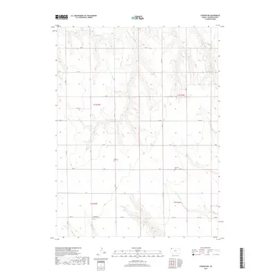
2018 Map of Atwood NW
USGS Topo · Published 2018About this map
Saint Johns Cem and Enterprise Cem sit within a landscape carved by the northern and southern forks of Driftwood Creek in Rawlins County. This High Plains terrain is organized by a precise grid of rural routes, including Road W and Co Rd 308, reflecting the enduring Public Land Survey System. The presence of the Immaculate Conception Cem in the southwestern quadrant suggests a history of localized rural parishes that served the surrounding farmsteads. Seasonal drainage patterns are marked by the N Fork Driftwood Cr and S Fork Driftwood Cr, which have created modest topographic relief across the sections. The network of local roads, such as Field Trail Rd, provides a clear view of how agricultural access was maintained across this part of Kansas in the early 21st century.
Find a feature on this map
22 named features on this map. Tap any name to fly to it.
Don’t see what you’re looking for? This feature index may not catch every label — zoom into the map to look around manually.
Map Details
Editions of this 2018 Atwood NW Map
This is the sole edition of this map. No revisions or reprints were ever made.
Other maps of this area

1950 · Mc Donald
USGS Topo · 1:62,500

1951 · Mc Donald
USGS Topo · 1:62,500

1951 · Atwood
USGS Topo · 1:62,500

1954 · McCook
USGS Topo · 1:250,000

1954 · Goodland
USGS Topo · 1:250,000

1956 · Goodland
USGS Topo · 1:250,000

1957 · McCook
USGS Topo · 1:250,000

1957 · Goodland
USGS Topo · 1:250,000

1958 · McCook
USGS Topo · 1:250,000

1962 · Trenton SW
USGS Topo · 1:24,000