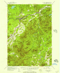
1953 Map of Au Sable Forks
USGS Topo · Published 1957About this map
The Ausable River forms the industrial and social spine of this Adirondack region, where the junction of the West and East branches at Au Sable Forks serves as a primary hub for commerce and community life. In this mid-century landscape, the legacy of the local iron industry remains visible through labels for Ore Mines near Arnold Hill and the presence of charcoal-related sites like Soper Kiln and Seven Kiln. These features, alongside the concentrated settlements of Clintonville and Thomasville, illustrate a mountain economy transitioning from its heavy industrial roots toward recreation and conservation.
Find a feature on this map
213 named features on this map. Tap any name to fly to it.
Don’t see what you’re looking for? This feature index may not catch every label — zoom into the map to look around manually.
Map Details
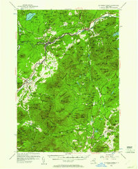
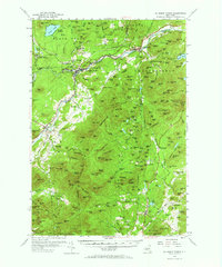
Editions of this 1953 Au Sable Forks Map
3 editions found
Other maps of this area

1894 · Elizabethtown
USGS Topo · 1:62,500

1894 · Port Henry
USGS Topo · 1:62,500

1894 · Plattsburg
USGS Topo · 1:62,500

1895 · Willsboro
USGS Topo · 1:62,500

1895 · Elizabethtown
USGS Topo · 1:62,500

1895 · Mt. Marcy
USGS Topo · 1:62,500

1895 · Ausable
USGS Topo · 1:62,500

1896 · Lake Placid
USGS Topo · 1:62,500

1898 · Port Henry
USGS Topo · 1:62,500

1898 · Lake Placid
USGS Topo · 1:62,500