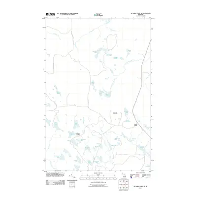
2011 Map of Au Sable Point SE
USGS Topo · Published 2011About this map
Sunrise Landing and Green Haven represent the primary points of human settlement in this Michigan landscape, which is defined by an intricate network of waterways and glacial lakes. The northern reach of the map is dominated by Grand Sable Lake and the mouth of the Hurricane River, while the southeastern corner is threaded by the Sucker River. The interior is accessible via primitive routes like Rhody Truck Trl and Adams Trl, which navigate a terrain densely packed with small water bodies such as Moccasin Lake, Lavender Lake, and Panther Lake. A notable landmark for navigation and forest management is the Gypsy Lake Lookout Tower, positioned near Gypsy Lake. The drainage patterns are complex, with the Fox River and Casey Creek carving through the southern half of the quadrangle, illustrating the importance of these small basins to the local ecosystem.
Find a feature on this map
53 named features on this map. Tap any name to fly to it.
Don’t see what you’re looking for? This feature index may not catch every label — zoom into the map to look around manually.
Map Details
Editions of this 2011 Au Sable Point SE Map
This is the sole edition of this map. No revisions or reprints were ever made.
Other maps of this area

1931 · Seney NW
USGS Topo · 1:31,680

1931 · Driggs Lake NE
USGS Topo · 1:31,680

1931 · Driggs Lake NW
USGS Topo · 1:31,680

1954 · Sault Sainte Marie
USGS Topo · 1:250,000

1956 · Sault Sainte Marie
USGS Topo · 1:250,000

1957 · Sault Sainte Marie
USGS Topo · 1:250,000

1958 · Sault Sainte Marie
USGS Topo · 1:250,000

1958 · Marquette
USGS Topo · 1:250,000

1960 · Marquette
USGS Topo · 1:250,000

1961 · Marquette
USGS Topo · 1:250,000