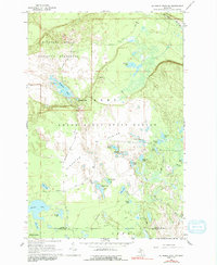
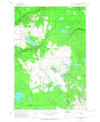
1966 Map of Au Sable Point SW
USGS Topo · Published 1991About this map
The Kingston Plains dominate this interior section of the Upper Peninsula, characterized by a vast network of glacial kettle lakes and remnant logging infrastructure. The landscape is defined by the legacy of the timber industry, most notably the Old Burt and Sable Railroad Grade which cuts through the southern terrain alongside another Old Railroad Grade. These routes, now largely decommissioned, speak to the era when rail was the primary means of extracting the region's white pine.
Find a feature on this map
36 named features on this map. Tap any name to fly to it.
Don’t see what you’re looking for? This feature index may not catch every label — zoom into the map to look around manually.
Map Details
Editions of this 1966 Au Sable Point SW Map
2 editions found
Other maps of this area

1931 · Driggs Lake NE
USGS Topo · 1:31,680

1931 · Shingleton NE
USGS Topo · 1:31,680

1931 · Driggs Lake NW
USGS Topo · 1:31,680

1958 · Shingleton
USGS Topo · 1:62,500

1958 · Grand Portal Point
USGS Topo · 1:62,500

1958 · Marquette
USGS Topo · 1:250,000

1960 · Marquette
USGS Topo · 1:250,000

1961 · Marquette
USGS Topo · 1:250,000

1966 · Au Sable Point SE
USGS Topo · 1:24,000
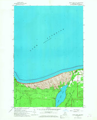
1966 · Grand Sable Lake
USGS Topo · 1:24,000