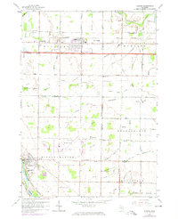
1962 Map of Auburn
USGS Topo · Published 1974About this map
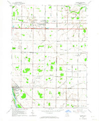
Auburn and its surrounding townships define this landscape in the mid-1960s, showing a transition from agricultural fields to expanding regional infrastructure. The Tri-City Airport dominates the central portion of the map, served by a network of drainage systems including Schmidt Drain and Squaconning Creek. The map documents numerous local institutions vital to genealogists, such as Township Cem, St Anthony Cem, and several parochial schools like St Joseph Sch and Trinity Sch. Industrial activity is noted in the northeast corner near the Kawkawlin River, where a Mine Dump is situated along the Penn Central rail line. The southern portion of the sheet captures Freeland as it borders the Tittabawassee River, illustrating the settlement patterns and roadway developments along Midland Road and Ohio Road before 1970s updates.
Find a feature on this map
64 named features on this map. Tap any name to fly to it.
Don’t see what you’re looking for? This feature index may not catch every label — zoom into the map to look around manually.
Map Details
Editions of this 1962 Auburn Map
2 editions found
Other maps of this area

1916 · Bay City
USGS Topo · 1:62,500

1917 · St. Charles
USGS Topo · 1:62,500

1919 · Bay City
USGS Topo · 1:62,500

1919 · Saginaw
USGS Topo · 1:62,500

1941 · Saginaw
USGS Topo · 1:62,500

1943 · Bay City
USGS Topo · 1:62,500

1943 · Saginaw
USGS Topo · 1:62,500

1943 · St. Charles
USGS Topo · 1:62,500

1954 · Midland
USGS Topo · 1:250,000

1954 · Flint
USGS Topo · 1:250,000
Featured Places
- Auburn, MI
- Frankenlust Township, MI
- Kochville Township, MI
- Tittabawassee Township, MI
- Monitor Township, MI