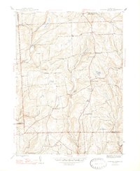
1947 Map of Auburn Center
USGS Topo · Published 1947About this map
The rolling uplands of the Susquehanna and Wyoming county borders define this mid-century landscape, centered on the community of Auburn Center. The area is characterized by a network of small crossroads settlements such as West Auburn, South Auburn, and Green Corners, which served as local focal points for the surrounding agricultural tracts. Numerous small water bodies like White Pond, Carlin Pond, and Nick Pond dot the terrain, feeding the southward flow of Little Meshoppen Creek.
Find a feature on this map
40 named features on this map. Tap any name to fly to it.
Don’t see what you’re looking for? This feature index may not catch every label — zoom into the map to look around manually.
Map Details
Editions of this 1947 Auburn Center Map
2 editions found
Other maps of this area

1943 · Montrose
USGS Topo · 1:62,500

1943 · Le Raysville
USGS Topo · 1:62,500

1945 · Montrose
USGS Topo · 1:62,500

1945 · Le Raysville
USGS Topo · 1:62,500

1945 · Meshoppen
USGS Topo · 1:62,500

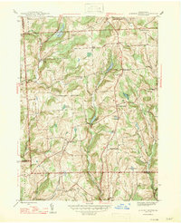
1945 · Auburn Center
USGS Topo · 1:24,000

1945 · Jenningsville
USGS Topo · 1:24,000

1945 · Meshoppen
USGS Topo · 1:24,000

1945 · Laceyville
USGS Topo · 1:24,000

1946 · Tunkhannock
USGS Topo · 1:62,500
Featured Places
- Rush Township, PA
- Scranton Corners, Meshoppen Township
- Auburn Center, PA
- Stevens Township, PA
- Tuscarora Township, PA