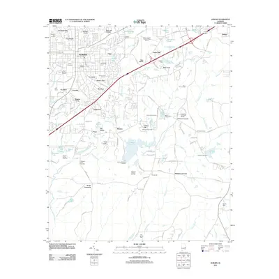
2011 Map of Auburn
USGS Topo · Published 2011About this map
Auburn University anchor the western portion of this 2011 survey, showing a landscape where academic expansion meets significant suburban development. The map reveals a dense network of residential subdivisions such as Cary Woods, Tanglewood, and Indian Hills, which are intricately woven around the natural drainage of Moores Mill Creek and Chewacla Creek. The transition from the core university area to the outlying crossroads is marked by numerous small impoundments like Lake Wilmore and Auburn City Lake, highlighting a local reliance on managed water resources for recreation and utility.
Find a feature on this map
153 named features on this map. Tap any name to fly to it.
Don’t see what you’re looking for? This feature index may not catch every label — zoom into the map to look around manually.
Map Details
Editions of this 2011 Auburn Map
This is the sole edition of this map. No revisions or reprints were ever made.
Other maps of this area

1906 · Dadeville
USGS Topo · 1:125,000

1907 · Opelika
USGS Topo · 1:125,000

1909 · Opelika
USGS Topo · 1:125,000

1955 · Phenix City
USGS Topo · 1:250,000

1957 · Phenix City
USGS Topo · 1:250,000

1958 · Phenix City
USGS Topo · 1:250,000

1970 · Opelika East
USGS Topo · 1:24,000

1971 · Waverly
USGS Topo · 1:24,000

1971 · Parkers Crossroads
USGS Topo · 1:24,000

1971 · Little Texas
USGS Topo · 1:24,000