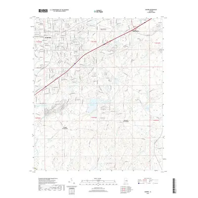
2018 Map of Auburn
USGS Topo · Published 2018About this map
Auburn and Opelika are documented in this 2018 survey, showcasing the extensive institutional and recreational footprint of the region in the late 2010s. The landscape is defined by the expansive Auburn Univ Main Campus and the Auburn University Regional Airport, while rural pockets persist at Wright Crossroads and Mitchell Crossroads. Genealogy researchers will find several well-documented burial grounds, including Hill Cem, Pine Hill Cem, and Chamlee Cem.
Find a feature on this map
57 named features on this map. Tap any name to fly to it.
Don’t see what you’re looking for? This feature index may not catch every label — zoom into the map to look around manually.
Map Details
Editions of this 2018 Auburn Map
This is the sole edition of this map. No revisions or reprints were ever made.
Other maps of this area

1906 · Dadeville
USGS Topo · 1:125,000

1907 · Opelika
USGS Topo · 1:125,000

1909 · Opelika
USGS Topo · 1:125,000

1955 · Phenix City
USGS Topo · 1:250,000

1957 · Phenix City
USGS Topo · 1:250,000

1958 · Phenix City
USGS Topo · 1:250,000

1970 · Opelika East
USGS Topo · 1:24,000

1971 · Waverly
USGS Topo · 1:24,000

1971 · Parkers Crossroads
USGS Topo · 1:24,000

1971 · Little Texas
USGS Topo · 1:24,000