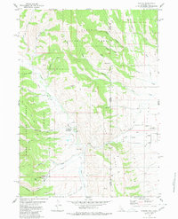
1980 Map of Auburn
USGS Topo · Published 1980About this map
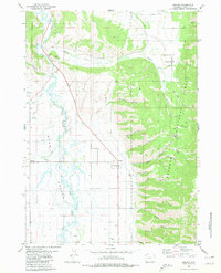
Auburn sits at the edge of the Valley floor in this 1980 survey, where the State Line separates Wyoming from Idaho. The landscape is defined by the transition from agricultural land and Gravel Pits in the east to the densely wooded slopes of the Caribou National Forest in the west. This area preserves a segment of the historic Lander Cutoff, a vital route for 19th-century emigrants, which runs through the drainage of Emigrant Creek. To the south, specialized land use is evident at the Fish Hatchery near The Falls on Webster Canyon. The map reveals an intricate network of specialized paths such as the Pack Trail and Horse Pack Trail that navigate through deep drainages like Hyde Canyon and North Pack Canyon, supporting forestry and recreational access near the Stump Creek Guard Station.
Find a feature on this map
36 named features on this map. Tap any name to fly to it.
Don’t see what you’re looking for? This feature index may not catch every label — zoom into the map to look around manually.
Map Details
Editions of this 1980 Auburn Map
This is the sole edition of this map. No revisions or reprints were ever made.
Other maps of this area

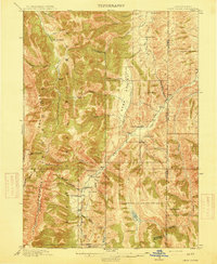
1915 · Freedom
USGS Topo · 1:62,500
1915 · Crow Creek
USGS Topo · 1:62,500

1921 · Afton
USGS Topo · 1:125,000
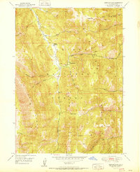
1949 · Stewart Flat
USGS Topo · 1:24,000
1951 · Stewart Flat
USGS Topo · 1:24,000

1955 · Preston
USGS Topo · 1:250,000

1958 · Preston
USGS Topo · 1:250,000

1962 · Preston
USGS Topo · 1:250,000
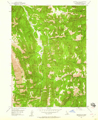
1980 · Grover
USGS Topo · 1:24,000
1980 · Thayne West
USGS Topo · 1:24,000