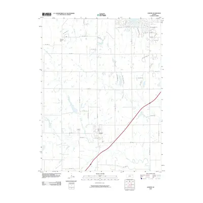
2009 Map of Auburn
USGS Topo · Published 2009About this map
The Auburn townsite occupies the heart of this landscape, situated near the convergence of several major waterways in Shawnee County. The Wakarusa River system dominates the southern portion of the map, with the North Branch Wakarusa River, Middle Branch Wakarusa River, and South Branch Wakarusa River coming together to shape the local drainage. To the north, the waters of Sherwood Lake and the winding Shunganunga Creek define the suburban fringe.
Find a feature on this map
57 named features on this map. Tap any name to fly to it.
Don’t see what you’re looking for? This feature index may not catch every label — zoom into the map to look around manually.
Map Details
Editions of this 2009 Auburn Map
This is the sole edition of this map. No revisions or reprints were ever made.
Other maps of this area

1889 · Burlingame
USGS Topo · 1:125,000

1889 · Topeka
USGS Topo · 1:125,000

1894 · Burlingame
USGS Topo · 1:125,000

1894 · Topeka
USGS Topo · 1:125,000

1947 · Lawrence
USGS Topo · 1:250,000

1950 · Kansas City
USGS Topo · 1:250,000

1950 · Lawrence
USGS Topo · 1:250,000

1950 · Topeka
USGS Topo · 1:24,000

1951 · Topeka
USGS Topo · 1:24,000

1952 · Auburn
USGS Topo · 1:24,000