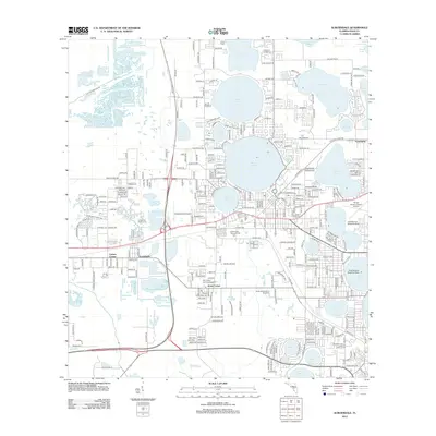
2012 Map of Auburndale
USGS Topo · Published 2012About this map
Lake Juliana, Lake Ariana, and Lake Mattie define the hydrologic character of this central Florida landscape, where a dense network of water bodies is intertwined with modern transportation and aviation infrastructure. The 2012 environment shows significant development around the established settlements of Kossuthville, Jones Corner, and Lynchburg. Local history and genealogy are anchored by sites such as Lincoln Park Cem and Glen Abbey Memorial Gardens.
Find a feature on this map
303 named features on this map. Tap any name to fly to it.
Don’t see what you’re looking for? This feature index may not catch every label — zoom into the map to look around manually.
Map Details
Editions of this 2012 Auburndale Map
This is the sole edition of this map. No revisions or reprints were ever made.
Other maps of this area

1944 · Providence
USGS Topo · 1:31,680

1944 · Polk City
USGS Topo · 1:31,680

1944 · Lakeland
USGS Topo · 1:31,680

1944 · Auburndale
USGS Topo · 1:31,680

1949 · Mulberry
USGS Topo · 1:24,000

1949 · Bartow
USGS Topo · 1:24,000

1950 · Mulberry
USGS Topo · 1:24,000

1950 · Bartow
USGS Topo · 1:24,000

1955 · Eloise
USGS Topo · 1:24,000

1955 · Orlando
USGS Topo · 1:250,000