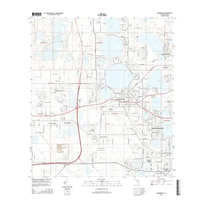
2015 Map of Auburndale
USGS Topo · Published 2015About this map
Auburndale and the surrounding Polk County lake district are defined by a complex mosaic of water and industrial heritage in this 2015 study. The landscape is dominated by large bodies of water such as Lake Ariana, Lake Juliana, and Lake Mattie, which dictated the early settlement patterns and the winding routes of local roads like Tenoroc Mine Rd. The map illustrates the expansion of communities like Lake Alfred and Winter Haven, showing how modern residential development has filled the spaces between historic corners and crossroads. Genealogists may find value in the clearly marked Lincoln Park Cem and Glen Abbey Memorial Gardens. The area's aviation infrastructure is also prominent, featuring both the Market World Airport and Winter Haven's Gilbert Airport, reflecting the region's connectivity in the early 21st century.
Find a feature on this map
116 named features on this map. Tap any name to fly to it.
Don’t see what you’re looking for? This feature index may not catch every label — zoom into the map to look around manually.
Map Details
Editions of this 2015 Auburndale Map
This is the sole edition of this map. No revisions or reprints were ever made.
Other maps of this area

1944 · Providence
USGS Topo · 1:31,680

1944 · Polk City
USGS Topo · 1:31,680

1944 · Lakeland
USGS Topo · 1:31,680

1944 · Auburndale
USGS Topo · 1:31,680

1949 · Mulberry
USGS Topo · 1:24,000

1949 · Bartow
USGS Topo · 1:24,000

1950 · Mulberry
USGS Topo · 1:24,000

1950 · Bartow
USGS Topo · 1:24,000

1955 · Eloise
USGS Topo · 1:24,000

1955 · Orlando
USGS Topo · 1:250,000