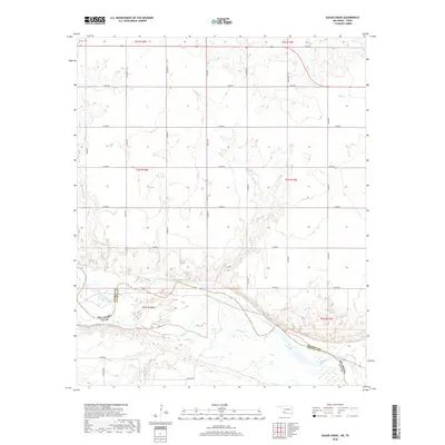
2018 Map of Augar Creek
USGS Topo · Published 2018About this map
The Red River defines the landscape of this border region, carving a wide path that separates Oklahoma and Texas. On the southern banks within Wichita County, the terrain is shaped by a network of drainage channels including China Cr and Adams Cr. This map documents a sparsely populated rural landscape structured by a precise grid of county roads, such as Flippin Rd and Moeller Rd, which provide access to the agricultural lands between the river and the northern uplands. Numerous smaller tributaries, including Augur Cr, Bule Cr, and Curtis Cr, weave through the terrain, illustrating the complex hydrology of the Red River valley during this period. The survey captures the intersection of Tillman and Wichita counties, highlighting the geographical divide marked by the shifting riverbed.
Find a feature on this map
31 named features on this map. Tap any name to fly to it.
Don’t see what you’re looking for? This feature index may not catch every label — zoom into the map to look around manually.
Map Details
Editions of this 2018 Augar Creek Map
This is the sole edition of this map. No revisions or reprints were ever made.
Other maps of this area

1915 · Clara
USGS Topo · 1:24,000

1915 · Barwise School
USGS Topo · 1:24,000

1916 · Electra
USGS Topo · 1:24,000

1918 · Electra
USGS Topo · 1:31,680

1918 · Barwise School
USGS Topo · 1:31,680

1918 · Clara
USGS Topo · 1:31,680

1955 · Lawton
USGS Topo · 1:250,000

1957 · Burkburnett
USGS Topo · 1:62,500

1958 · Electra
USGS Topo · 1:62,500

1962 · Chattanooga
USGS Topo · 1:62,500