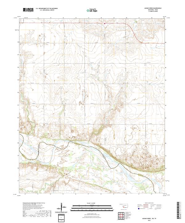
2022 Map of Augar Creek
USGS Topo · Published 2022About this map
The Red River forms a wide, braided boundary between Oklahoma and Texas in this section of Tillman and Wichita counties. The landscape is defined by a series of north-south drainage systems, including Augur Cr and Curtis Cr, which carve through the plains toward the river basin. This area maintains a strict section-line road grid typical of the western prairie, with named routes like Flippin Rd and Moeller Rd providing access to the agricultural parcels. South of the river, Adams Cr and China Cr meander through the floodplain, illustrating the shifting alluvial nature of the borderlands. The map provides a precise view of the rural infrastructure and natural drainage patterns of the Red River valley during the early twenty-first century.
Find a feature on this map
31 named features on this map. Tap any name to fly to it.
Don’t see what you’re looking for? This feature index may not catch every label — zoom into the map to look around manually.
Map Details
Editions of this 2022 Augar Creek Map
This is the sole edition of this map. No revisions or reprints were ever made.
Other maps of this area

1915 · Clara
USGS Topo · 1:24,000

1915 · Barwise School
USGS Topo · 1:24,000

1916 · Electra
USGS Topo · 1:24,000

1918 · Electra
USGS Topo · 1:31,680

1918 · Barwise School
USGS Topo · 1:31,680

1918 · Clara
USGS Topo · 1:31,680

1955 · Lawton
USGS Topo · 1:250,000

1957 · Burkburnett
USGS Topo · 1:62,500

1958 · Electra
USGS Topo · 1:62,500

1962 · Chattanooga
USGS Topo · 1:62,500