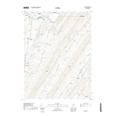
2019 Map of Aughwick
USGS Topo · Published 2019About this map
Germany Valley sits at the heart of this central Pennsylvania landscape, where a dense network of country cemeteries and small settlements traces the region's rural history. The terrain is defined by the parallel elevations of Shade Mountain and Blacklog Mountain, which create isolated valleys like Loves Valley and Blacklog Valley. Along the western edge, the Juniata River and Aughwick Creek provide the primary drainage, while named landmarks such as Mine Bank Ridge hint at the area's geological and extractive past.
Find a feature on this map
94 named features on this map. Tap any name to fly to it.
Don’t see what you’re looking for? This feature index may not catch every label — zoom into the map to look around manually.
Map Details
Editions of this 2019 Aughwick Map
This is the sole edition of this map. No revisions or reprints were ever made.
Other maps of this area

1919 · Mattawana
USGS Topo · 1:62,500

1922 · Mt Union
USGS Topo · 1:48,000

1923 · Shippensburg
USGS Topo · 1:62,500

1924 · Mt. Union
USGS Topo · 1:62,500

1936 · East Waterford
USGS Topo · 1:48,000

1939 · Orbisonia
USGS Topo · 1:62,500

1940 · Orbisonia
USGS Topo · 1:62,500

1941 · East Waterford
USGS Topo · 1:62,500

1943 · Shippensburg
USGS Topo · 1:62,500

1944 · Orbisonia
USGS Topo · 1:62,500