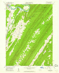
1959 Map of Aughwick
USGS Topo · Published 1961About this map
The Juniata River winds through the northern reaches of this central Pennsylvania landscape, where the settlements of Kistler and Allenport sit across from one another near the industrial Quarry. The terrain is defined by the steep, parallel ridges of Tuscarora Mountain and Blacklog Mountain, which shelter the long, narrow agricultural pockets of Germany Valley and Shade Valley. Within these valleys, historical land use is marked by a network of small family and community burial grounds, such as Shope Cem and Germany Valley Cem.
Find a feature on this map
58 named features on this map. Tap any name to fly to it.
Don’t see what you’re looking for? This feature index may not catch every label — zoom into the map to look around manually.
Map Details
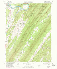
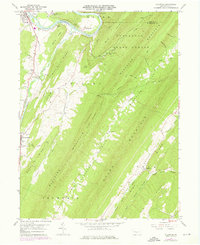
Editions of this 1959 Aughwick Map
3 editions found
Other maps of this area

1919 · Mattawana
USGS Topo · 1:62,500

1922 · Mt Union
USGS Topo · 1:48,000

1923 · Shippensburg
USGS Topo · 1:62,500

1924 · Mt. Union
USGS Topo · 1:62,500

1936 · East Waterford
USGS Topo · 1:48,000

1939 · Orbisonia
USGS Topo · 1:62,500

1940 · Orbisonia
USGS Topo · 1:62,500

1941 · East Waterford
USGS Topo · 1:62,500

1943 · Shippensburg
USGS Topo · 1:62,500

1944 · Orbisonia
USGS Topo · 1:62,500
Featured Places
- Shirleysburg, PA
- Lack Township, PA
- Wayne Township, PA
- Richvale, Tell Township
- Aughwick, Shirley Township