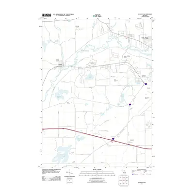
2011 Map of Augusta
USGS Topo · Published 2011About this map
The Kalamazoo River flows through the heart of this landscape, anchoring a corridor of military history and conservation between Battle Creek and Galesburg. This 2011 survey details the significant presence of the Fort Custer Military Res and the adjacent Fort Custer State Park, a territory marked by diverse terrain and training grounds. Near the river, the Fort Custer National Cemetery and the Post Cemetery serve as important landmarks for genealogical research, while the village of Augusta maintains its distinct identity with the Augusta Post Office and Augusta Cemetery.
Find a feature on this map
101 named features on this map. Tap any name to fly to it.
Don’t see what you’re looking for? This feature index may not catch every label — zoom into the map to look around manually.
Map Details
Editions of this 2011 Augusta Map
This is the sole edition of this map. No revisions or reprints were ever made.
Other maps of this area

1918 · Battle Creek
USGS Topo · 1:62,500

1918 · Union City
USGS Topo · 1:62,500

1918 · Galesburg
USGS Topo · 1:62,500

1918 · Leonidas
USGS Topo · 1:62,500

1943 · Battle Creek
USGS Topo · 1:62,500

1944 · Leonidas
USGS Topo · 1:62,500

1944 · Galesburg
USGS Topo · 1:62,500

1947 · Augusta
USGS Topo · 1:24,000

1947 · Delton
USGS Topo · 1:24,000

1947 · Galesburg
USGS Topo · 1:24,000