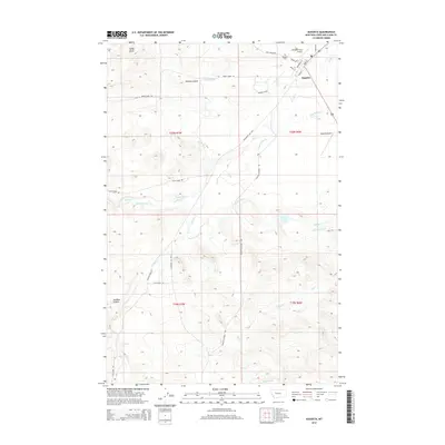
2014 Map of Augusta
USGS Topo · Published 2014About this map
Augusta serves as the central hub of this Lewis and Clark County landscape, where the prairie meets the rising terrain of the Rocky Mountain Front. The map documents an intricate water management system essential to the local ranching economy, featuring the Florence Canal, Vaughn Ditch, and Mosher Ditch alongside natural waterways like Elk Cr and Smith Cr. To the north and west, the topography shifts from the level ground of the Murphy Coulee toward prominent elevations such as Sandy Butte and the depth of Swallow Canyon. The town's infrastructure is clearly defined by a grid of streets including Main St and Broadway St, while the outskirts are marked by local aviation sites like Williams Field Airport and the Augusta Cemetery. Traces of older thoroughfares remain visible through labels like the Whoop-Up Trl, providing a look at the historical transit routes used before the modern alignment of Secondary 435 Hwy.
Find a feature on this map
33 named features on this map. Tap any name to fly to it.
Don’t see what you’re looking for? This feature index may not catch every label — zoom into the map to look around manually.
Map Details
Editions of this 2014 Augusta Map
This is the sole edition of this map. No revisions or reprints were ever made.
Other maps of this area

1903 · Saypo
USGS Topo · 1:125,000

1903 · Coopers Lake
USGS Topo · 1:125,000

1920 · Choteau
USGS Topo · 1:125,000

1943 · Hogan
USGS Topo · 1:125,000

1955 · Choteau
USGS Topo · 1:250,000

1957 · Choteau
USGS Topo · 1:250,000

1958 · Choteau
USGS Topo · 1:250,000

1958 · Barr Creek
USGS Topo · 1:24,000

1960 · Gilman
USGS Topo · 1:62,500

1962 · Choteau
USGS Topo · 1:250,000