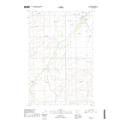
2020 Map of Augusta
USGS Topo · Published 2020About this map
Augusta serves as the primary hub in this Lewis and Clark County landscape, where the town grid is defined by streets like Main St and Broadway St. The surrounding geography is a complex network of natural watercourses and engineered irrigation, reflecting the area's agricultural foundations. Water management is evident through the presence of the Vaughn Ditch, Florence Canal, and Mosher Ditch, which redirect flow across the terrain near Elk Cr.
Find a feature on this map
34 named features on this map. Tap any name to fly to it.
Don’t see what you’re looking for? This feature index may not catch every label — zoom into the map to look around manually.
Map Details
Editions of this 2020 Augusta Map
This is the sole edition of this map. No revisions or reprints were ever made.
Other maps of this area

1903 · Saypo
USGS Topo · 1:125,000

1903 · Coopers Lake
USGS Topo · 1:125,000

1920 · Choteau
USGS Topo · 1:125,000

1943 · Hogan
USGS Topo · 1:125,000

1955 · Choteau
USGS Topo · 1:250,000

1957 · Choteau
USGS Topo · 1:250,000

1958 · Choteau
USGS Topo · 1:250,000

1958 · Barr Creek
USGS Topo · 1:24,000

1960 · Gilman
USGS Topo · 1:62,500

1962 · Choteau
USGS Topo · 1:250,000