1957 Map of Augusta
USGS Topo · Published 1984About this map
The Savannah River Plant (Atomic Energy Commission) dominates the riverfront south of Augusta, marking a transformative era of Cold War infrastructure along the Savannah River. This 1957 survey captures the Central Savannah River Area and the South Carolina Midlands during a period of significant military and industrial expansion, with Fort Gordon and Shaw Air Force Base anchored near the regional hubs of Aiken and Sumter. The landscape is defined by its complex hydrology, from the Sand Hills to the massive reservoirs of Lake Marion and Lake Moultrie, which were relatively recent additions to the geography of the Santee Basin.
Find a feature on this map
230 named features on this map. Tap any name to fly to it.
Don’t see what you’re looking for? This feature index may not catch every label — zoom into the map to look around manually.
Map Details
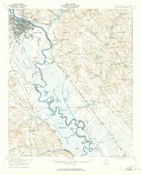
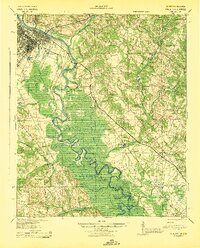
Editions of this 1957 Augusta Map
3 editions found

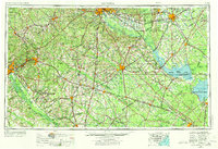
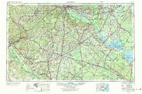
Historical Maps of Augusta Through Time
7 maps found