Loading...
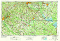
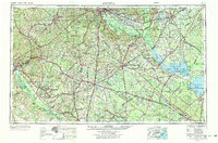
Loading map...1957 Map of Augusta
USGS Topo · Published 1973About this map
The Savannah River Plant dominates the landscape south of Augusta and Aiken, marking a massive industrial footprint during the Cold War era. This survey documents a critical period of mid-century growth across the Sand Hills and the swampy lowlands of the Salkehatchie River basin. Major infrastructure is prominent, from the sprawling Fort Jackson Military Reservation and Shaw Air Force Base to the extensive rail networks of the Southern Railway and Atlantic Coast Line Railroad.
Find a feature on this map
219 named features on this map. Tap any name to fly to it.
Don’t see what you’re looking for? This feature index may not catch every label — zoom into the map to look around manually.
Map Details
Date Portrayed1957
Date Published1973
PublisherU.S. Geological Survey
Map TypeTopographic
Scale1:250,000
Physical Dimensions32 x 21.9 inches
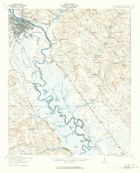
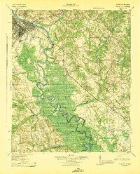
Editions of this 1957 Augusta Map
3 editions found

Historical Maps of Augusta Through Time
7 maps found


Featured Locations
Source Details
SourceU.S. Geological Survey
CopyrightPublic Domain