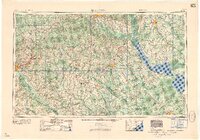
1958 Map of Augusta
USGS Topo · Published 1958About this map
Augusta and Columbia anchor this mid-century portrait of the South Carolina and Georgia borderlands. The landscape is defined by the massive water management projects of the coastal plain, notably the expansive Lake Marion and Lake Moultrie reservoirs along the Santee River. A critical era of Cold War infrastructure is visible south of Aiken at the Savannah River Plant (AEC), a massive federal installation that altered the geography of several counties.
Find a feature on this map
155 named features on this map. Tap any name to fly to it.
Don’t see what you’re looking for? This feature index may not catch every label — zoom into the map to look around manually.
Map Details
Editions of this 1958 Augusta Map
This is the sole edition of this map. No revisions or reprints were ever made.
Other maps of this area

1892 · Mc Cormick
USGS Topo · 1:125,000

1892 · Abbeville
USGS Topo · 1:125,000

1904 · Columbia
USGS Topo · 1:125,000
1908 · Kirksey
USGS Topo · 1:24,000

1912 · Mc Cormick
USGS Topo · 1:125,000
1918 · Walterboro
USGS Topo · 1:62,500
1918 · Varnville
USGS Topo · 1:62,500
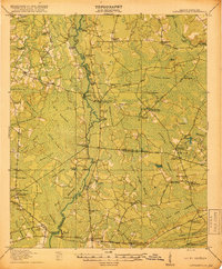
1918 · Cottageville
USGS Topo · 1:62,500

1919 · Ladson
USGS Topo · 1:21,120
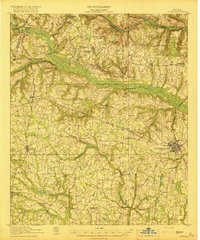
1919 · Gough
USGS Topo · 1:62,500