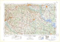
1962 Map of Augusta
USGS Topo · Published 1962About this map
Columbia and Augusta anchor this regional overview of the South Carolina and Georgia borderlands during the early Cold War era. The map highlights the massive footprint of the Savannah River Plant (AEC) along the Savannah River, reflecting the industrial and military mobilization that reshaped the Central Savannah River Area. To the east, the watery landscapes of the Lowcountry are dominated by Lake Marion and Lake Moultrie, which are bordered by the Santee National Wildlife Refuge.
Find a feature on this map
234 named features on this map. Tap any name to fly to it.
Don’t see what you’re looking for? This feature index may not catch every label — zoom into the map to look around manually.
Map Details
Editions of this 1962 Augusta Map
This is the sole edition of this map. No revisions or reprints were ever made.
Other maps of this area

1892 · Mc Cormick
USGS Topo · 1:125,000

1892 · Abbeville
USGS Topo · 1:125,000

1904 · Columbia
USGS Topo · 1:125,000
1908 · Kirksey
USGS Topo · 1:24,000

1912 · Mc Cormick
USGS Topo · 1:125,000
1918 · Walterboro
USGS Topo · 1:62,500
1918 · Varnville
USGS Topo · 1:62,500
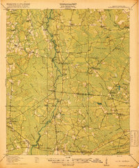
1918 · Cottageville
USGS Topo · 1:62,500

1919 · Ladson
USGS Topo · 1:21,120
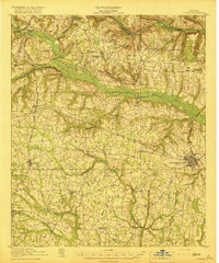
1919 · Gough
USGS Topo · 1:62,500