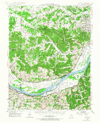
1948 Map of Augusta
USGS Topo · Published 1967About this map
Augusta and the surrounding river bluffs are documented here during a period of post-war transition in St. Charles and Franklin counties. The Missouri River serves as the dominant geographic feature, separating the fertile lowlands of Hancock Bottom and Labadie Bottoms from the rugged uplands. The northern reaches of the map reflect the era's heavy industrial and conservation presence, notably the Weldon Spring Ordnance Works and the neighboring August A Busch Wildlife Area.
Find a feature on this map
68 named features on this map. Tap any name to fly to it.
Don’t see what you’re looking for? This feature index may not catch every label — zoom into the map to look around manually.
Map Details
Editions of this 1948 Augusta Map
2 editions found

Other maps of this area

1890 · Hermann
USGS Topo · 1:125,000

1901 · De Soto
USGS Topo · 1:125,000

1903 · O'Fallon
USGS Topo · 1:125,000

1903 · Sullivan
USGS Topo · 1:125,000

1931 · Brussels
USGS Topo · 1:62,500

1937 · Pacific
USGS Topo · 1:24,000

1937 · Weldon Spring
USGS Topo · 1:24,000

1939 · Brussels
USGS Topo · 1:62,500

1940 · Eureka
USGS Topo · 1:24,000

1940 · Weldon Spring
USGS Topo · 1:24,000